Knox County Places of Worship
Civic Technology • 2026 • View Project
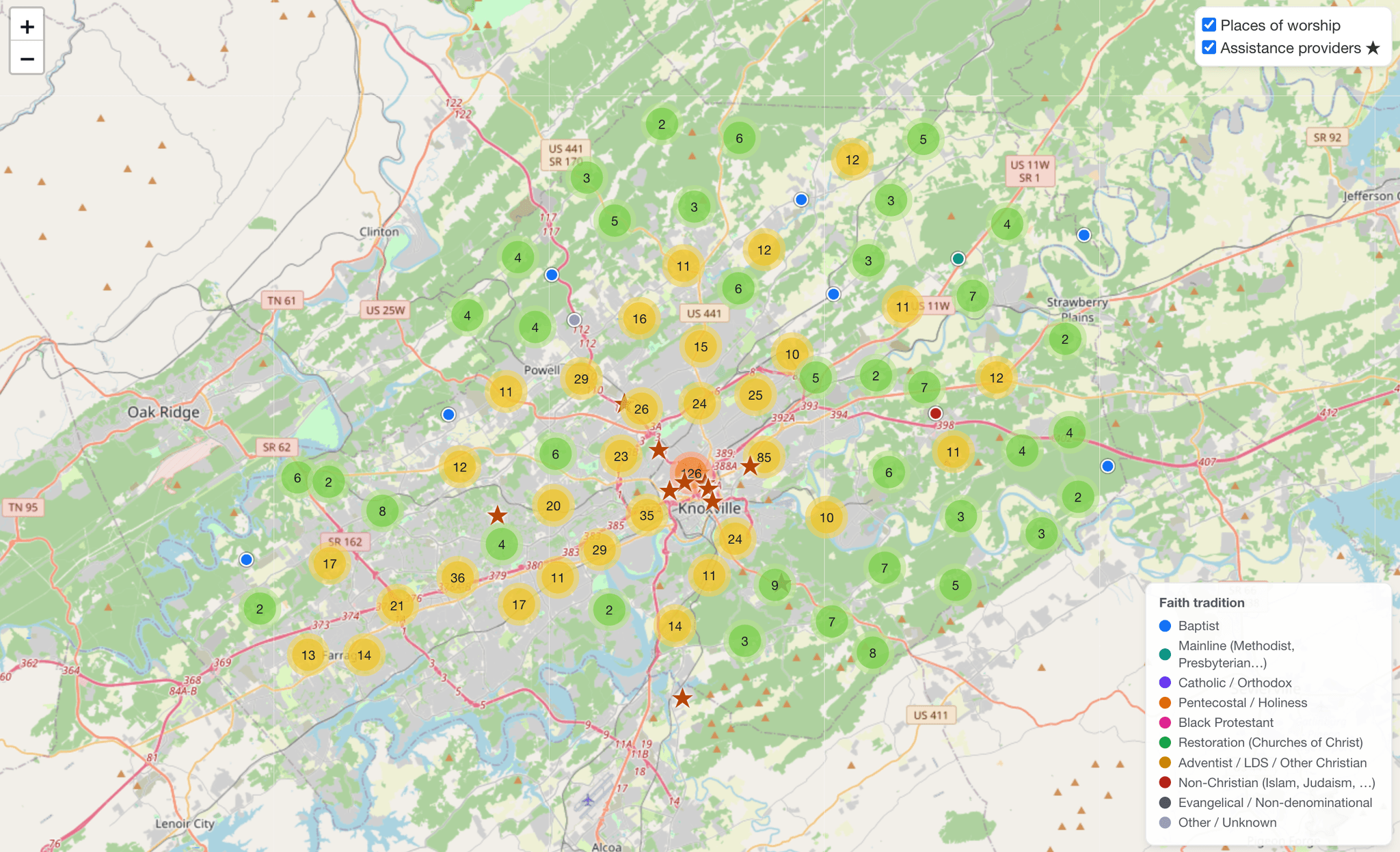
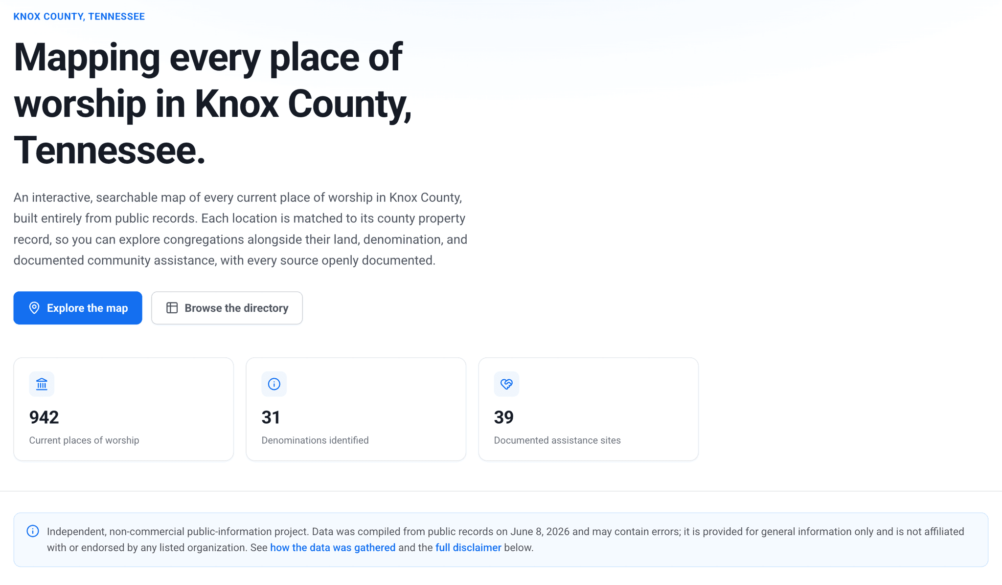
An interactive, searchable map of every current place of worship in Knox County, Tennessee, built entirely from public records. It plots 942 places of worship across 31 denominations, matches each to its county property record, and flags documented community assistance, with every source openly cited. A neutral public-information project and a portrait of the county through a single civic lens.
Everything in this project already existed in public records, just not anywhere a person could actually use it. Knox County's GIS office publishes a places-of-worship report, the assessor holds property data on every parcel, and the IRS holds Form 990 filings for the larger faith-based service organizations. Each lives in its own silo, in its own format, readable mostly by people who already know where to look. The work is synthesis: pulling those records together, matching each congregation to its land, denomination, and documented community assistance, and presenting the result as something anyone can explore.
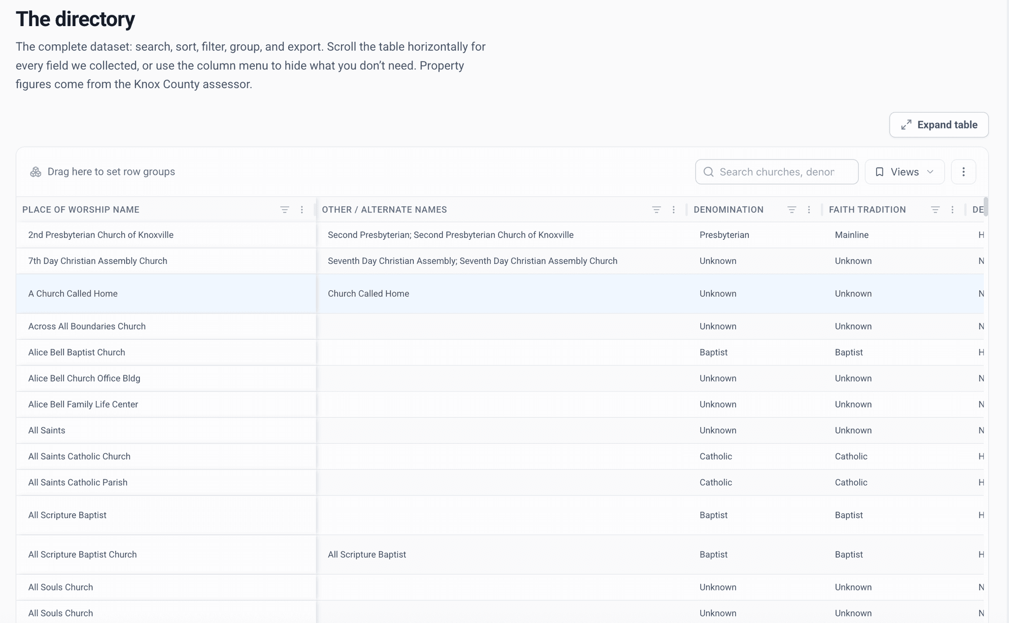
It takes two forms. The map shows all 942 locations, colored by faith tradition and clustered for clarity, with a toggle for the major faith-based assistance organizations. The directory is the full dataset laid bare: searchable, sortable, filterable, and exportable, with every field we collected, from property acreage and appraised value to last sale date, drawn from the Knox County assessor's record.
As much care went into what the project does not claim as into what it shows. Church income is not public and is not shown. A $0 appraised value reflects a parcel's tax-exempt status, not its worth or any organization's wealth. Denomination is inferred from each congregation's name, a best-effort guess rather than an official designation. Assistance flags are partial, and a blank does not mean a congregation provides none. Every source is documented, every limitation stated plainly, and the whole thing is offered as a starting point to verify, not a final word.
Taken together, it is a portrait of a place through a single lens. Mapping where a community gathers to worship, and the land and resources recorded alongside it, says something about the county that no individual record does on its own. The project makes no argument and takes no side. It assembles what is already public into a form that can be seen, and lets people draw their own conclusions.
Knox County Places of Worship is a self-initiated project by Alicorn Ink, part of an ongoing studio interest in taking public records that are technically available but practically invisible and making them legible. It is independent and non-commercial, not affiliated with or endorsed by any listed organization or agency, and built from public data with its sources openly cited.
View Project